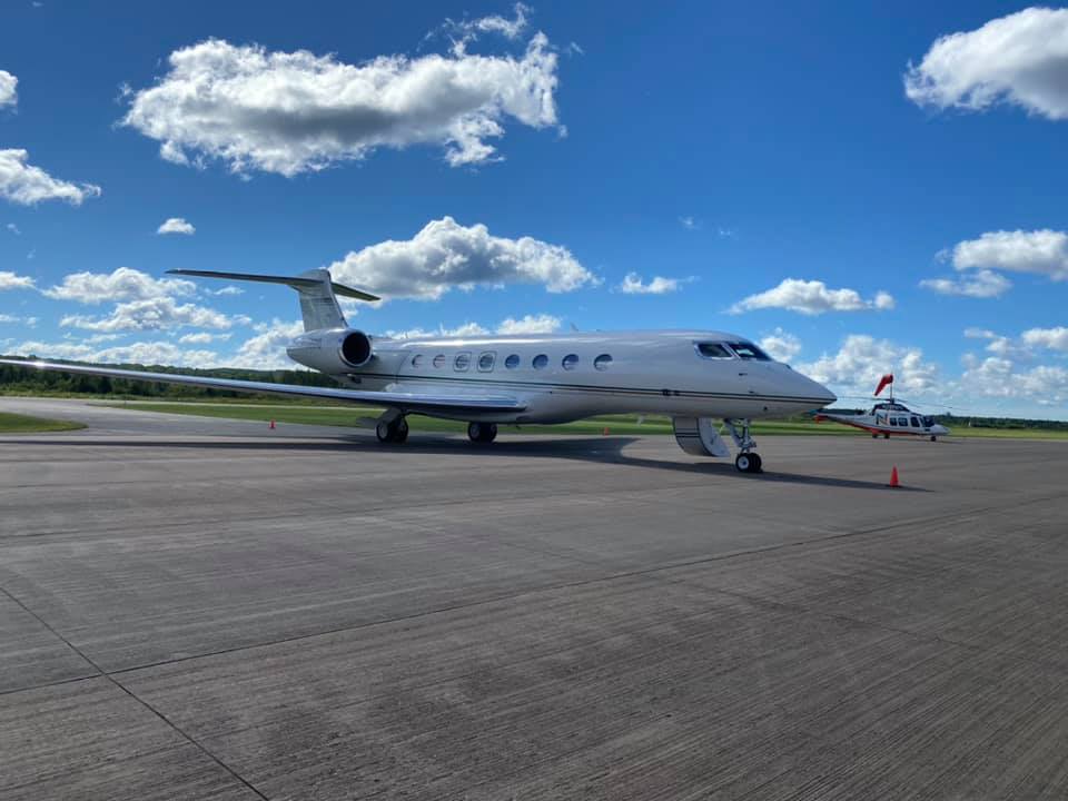
About Sawyer County Airport
Located in Hayward, Wisc., Sawyer County Airport covers 471 acres and features two runways: 3/21 is an asphalt runway that measures 5,002 feet long by 100 feet wide and has approved ILS and GPS approaches; Runway 16/34 has a turf surface that measures 1,088 long by 120 feet wide.
What is a Master Plan?
A Master Plan is a proactive document that identifies and then plans for future facility needs to ensure that airport management can coordinate project approvals, design, financing, and construction to avoid experiencing detrimental effects due to inadequate facilities. The ultimate goal of the study is to provide systematic guidelines for the airport’s overall maintenance, development, and operation.
Why Update the Master Plan?
Sawyer County has contracted with Coffman Associates, a national airport planning firm, to prepare an update to the airport’s Master Plan. The most recent master plan for the airport was completed in 1996.
Through coordination with the Federal Aviation Administration (FAA) and the Wisconsin Department of Transportation – Bureau of Aeronautics, the master plan's aim is to properly plan for the timely development of the airport to ensure its continued viability from a functional, social, and environmental perspective.


